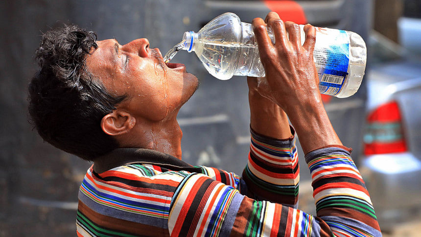
High Temperature Days: Barring miracle, record of 76yrs breaks today
At least 23 days of this month were heatwave days, which equals the record set in 2019 for the entire year.
Barring a miracle, today will be another heatwave day.
“So, we already saw 23 days of heatwave until yesterday and tomorrow [Friday] it is going to break the record of heatwave days in a single year since 1948,” said Abul Kalam Mallik, a meteorologist at the Bangladesh Meteorologist Department (BMD).
The BMD considers temperatures above 36 degrees Celsius for at least two consecutive days as heatwaves.
Its data shows that this year the heatwave began on April 1 in Rajshahi division. Between 36 and 39 degrees Celsius were recorded in the division until April 4.
Then the temperatures rose in Dhaka, Khulna, and Rangpur divisions and it continued for two days.
On April 8, Cox’s Bazar and Sitakunda recorded temperatures above 36 degrees Celsius.
Mallik said on April 9 and 10, temperatures across the country were under 36 degrees Celsius.
From April 11, the hot spell spread across the country, he added.
The Met office considers temperatures from 36 to 38 degrees Celsius as a mild heatwave, 38 to 40 degrees Celsius a moderate heatwave, 40 to 42 degrees Celsius as a severe heatwave, and temperatures above 42 degrees Celsius is considered as a very severe heatwave.
Scientific evidence and climatic records indicate an increasing trend in the frequency and duration of extreme temperature events in Bangladesh over the last few decades, experts said.
Rajshahi, Pabna, Chuadanga, and Jashore are particularly susceptible to heatwaves.
Recently published BMD report “Changing Climate of Bangladesh” observed that the minimum and maximum temperatures increased in the country but the maximum temperatures increased more rapidly.
Prof Rashed Chowdhury, senior global futures scientist of the Julie Ann Wrigley Global Futures Laboratory at the Arizona State University, said El Niño is turning into La Niña. This year could be the hottest on record.
During El Niño, surface water in the equatorial Pacific becomes warmer than average and east winds blow weaker than normal.
During La Niña, surface winds across the entire tropical Pacific are stronger than usual, and most of the tropical Pacific Ocean is cooler than average.
British daily The Guardian on April 4 reported that according to climatologist and weather historian Maximiliano Herrera, a “historic heatwave” is being experienced across Southeast Asia.
Last month, the World Meteorological Organisation said even in February, the region was “gripped by severe heat conditions” as temperatures frequently soared into the high 30s, well above the seasonal average.
LondonGBDESK//


Comments are closed.