NASA publishes satellite images of Sylhet flood
GBNews24 Desk//
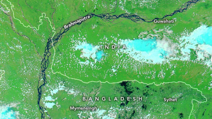
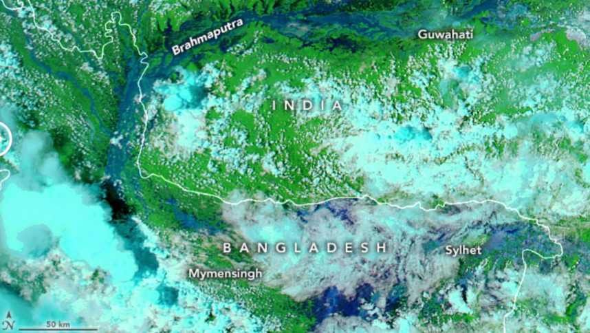
Space Research agency NASA has published the before and after satellite images of the flood-hit Sylhet region on their earth observatory website.
The images on NASA’s website show Bangladesh’s Sylhet region on May 8 and June 22. These images were acquired with the Moderate Resolution Imaging Spectroradiometer (MODIS) on NASA’s Aqua satellite.


Water appears navy blue and black; clouds are white or cyan, and vegetation is bright green.


Comments are closed.